ચિત્ર:ThomasDiggesmap.JPG
દિશાશોધન પર જાઓ
શોધ પર જાઓ
આ પૂર્વાવલોકનનું કદ: ૫૭૩ × ૬૦૦ પિક્સેલ. અન્ય આવર્તનો: ૨૨૯ × ૨૪૦ પિક્સેલ | ૬૨૭ × ૬૫૬ પિક્સેલ.
મૂળભુત ફાઇલ (૬૨૭ × ૬૫૬ પીક્સલ, ફાઇલનું કદ: ૧૨૩ KB, MIME પ્રકાર: image/jpeg)
સારાંશ:
| વર્ણન |
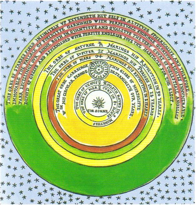
English: Thomas Digges map |
| તારીખ | 16 century |
| સ્રોત | Thomas Digges map: public domain, copied from here |
| લેખક | w:Thomas Digges (1546?-1595) |
પરવાના
|
This work is in the public domain in its country of origin and other countries and areas where the copyright term is the author's life plus 70 years or fewer. | |
| પ્રકાશન કાયદા હેઠળ અને તેને મળતા આવતાં આ ફાઈલ ને મુક્ત ગણાઈ છે | |
ફાઇલનો ઇતિહાસ
તારીખ/સમય ઉપર ક્લિક કરવાથી તે સમયે ફાઇલ કેવી હતી તે જોવા મળશે.
| તારીખ/સમય | લઘુચિત્ર | પરિમાણો | સભ્ય | ટિપ્પણી | |
|---|---|---|---|---|---|
| વર્તમાન | ૨૨:૩૯, ૨૭ નવેમ્બર ૨૦૦૭ | | ૬૨૭ × ૬૫૬ (૧૨૩ KB) | wikimediacommons>Jeangagnon | {{Information |Description=Représentation du modèle de Copernic réalisée en 1576 par Thomas Digges |Source=Domaine public |Date=27 novembre 2007 |Author=Jeangagnon |Permission={{PD-Old}} |other_versions= }} |
ફાઇલનો વપરાશ
આ ફાઇલ માં નીચેનું પાનું વપરાયેલું છે: